france2json
This repository provides a number of reusable stuff and examples to make nice web maps of France. It is based on the GEOFLA® dataset, TopoJSON format and D3.js library.
Some examples:
- Map of the communes of France (see the code).
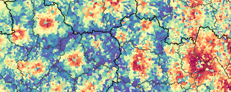
- Map of income by commune (see the code).
File structure
The file communes.json provides 2 feature collections:
- ‘communes’ representing the communes with a polygonal geometry, with the following properties:
- id: INSEE identifier, used to join statistical figures.
- nom: Commune name
- st: Statut of the commune, among:
- s: Commune simple
- o: Sous-préfecture
- d: Préfecture de département
- r: Préfecture de région
- c: Capitale
- ‘limites’ representing the commune boundaries, with a single property ‘na’ (nature) whose values are among:
- i: Frontière internationale
- o: Limite côtière
- r: Limite de région
- d: Limite de département
- a: Limite d’arrondissement
- c: Limite de commune
The file communes_nolim_oac.json has the same content as communes.json, excluding limits of types ‘o’, ‘a’ and ‘c’, which are often useless to show on maps. The file communes_surf.json contains only the ‘commune’ geometries (surfaces), without any limit.
Support and contribution
Feel free to ask support, fork the project or simply star it (it’s always a pleasure).
Copyright
GEOFLA® dataset is copyrighted. See the IGN website for more information.